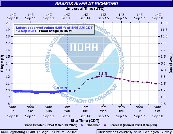
The Brazos River in Richmond is at Gage Elevation 12.1 feet. The region continues to monitor TS Nicholas. Based on the latest forecast, the biggest threat for the Lower Brazos River watershed is localized flood impacts due to heavy rainfall and intensities of 3 to 4 inches per hour. Flash flood conditions, including street ponding and rapid rises in drainage systems are possible. The WGRFC’s current forecast is showing the Brazos River staying below Action Stage peaking around Gage Elevation 12.1. The forecast includes the next 48 hours of rainfall and is subject to change based on the actual rainfall amounts received.
The 7-Day Quantitative Precipitation Forecast (QPF) is showing the lower Brazos River Watershed receiving widespread 2 to 10 inches with areas receiving isolated higher amounts. Although this is the 7-day estimated totals, the majority of this rainfall should occur Monday through Wednesday. Based on the current forecast, no flooding due to the Brazos River through Fort Bend County is anticipated. As mentioned, the current threat from Nicholas is localized flash flood conditions resulting in street ponding and rapid rises in drainage systems. The exact locations of the most severe rainfall and impacts are unclear. Residents across the region are encouraged to stay weather aware through their preferred source (i.e. National Weather Service, Space City Weather, and Local News).
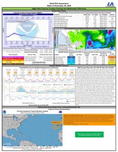
See the attached Flood Risk Report.


