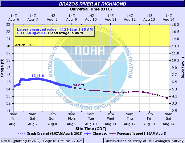
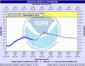
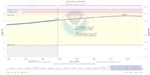
Currently, the Brazos River in Richmond remains low at Gage Elevation 8.43 feet. The topics are heating up as the National Hurricane Center is now watching 3 named storms and 2 disturbances. Most of these systems do not pose a threat to Gulf of Mexico; however, NWS and NHC continues to watch AL91 as it moves across the Gulf of Mexico. Over the weekend, the modeling and forecasts appeared to come into alignment for this system to move west into south Texas / northern Mexico making landfall possibly as a Tropical Depression or weak Tropic Storm. This system should bring some much needed rain to south Texas; however, the weather conditions for the remainder of Texas, including the Houston Region, will continue to be hot. The NWS forecast for the Region includes high temperatures 100 degrees with more Excessive Heat Warnings and Heat Advisory for much of the week. Everyone should continue to practice heat safety. Rain chances remain low throughout the week with an increased chance for rain on Tuesday and Wednesday. The 7-Day Quantitative Precipitation Forecast (QPF) is showing the lower Brazos River Watershed receiving less than ¼ inch of rain over the next 7 days. Based on the current forecast, no flooding due to the Brazos River through Fort Bend County is anticipated.
See the attached Flood Risk Report.


