
Fort Bend County Levee Improvement District No. 14
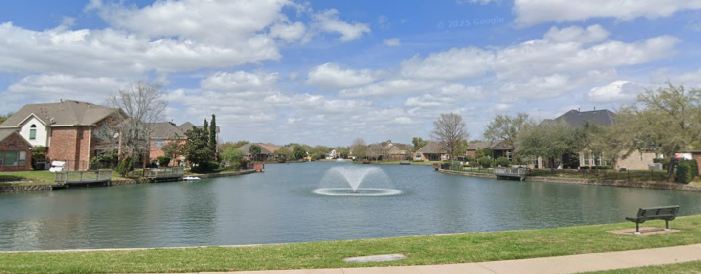
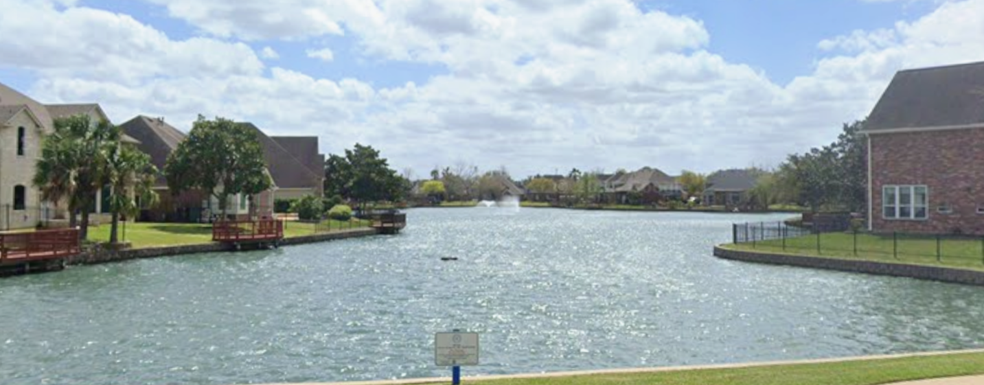
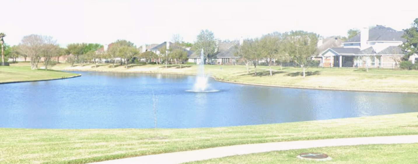
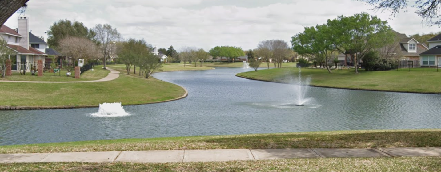
The District is a conservation and reclamation district created on July 2, 1996, by the Commissioners Court of Fort Bend County, Texas. The District’s plan of reclamation was approved by the Texas Natural Resource Conservation Commission, predecessor to the Texas Commission on Environmental Quality ( the ―Commission‖ or ―TCEQ‖), on May 5, 1997. The District contains approximately 567 acres of land located in the central portion of Fort Bend County, approximately 20 miles southwest of downtown Houston, Texas. The District lies entirely within the corporate limits of the City of Sugar Land. U.S. Highway 59 is north of the District, and the Brazos River, at its nearest point, is south of the District. The District is located within the boundaries of the Fort Bend Independent School District.
Notice of Public Hearing on Tax Rate
Visit Texas.gov/Property Taxes to find a link to your local property tax database on which you can
easily access information regarding your property taxes, including information about proposed tax
rates and scheduled public hearings of each entity that taxes your property.
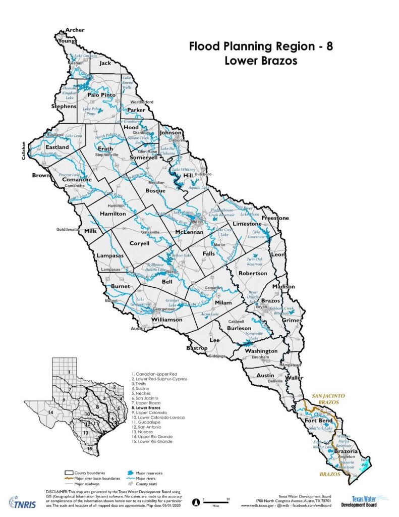
Regional Flood Planning
The Lower Brazos Regional Flood Planning Group (Lower Brazos RFPG) invites you to participate in a series of in-person public meetings coming soon. These meetings will be conducted in an open-house format with no formal presentation, allowing for interactive discussion and feedback.
Hazard Mitigation Plan
Fort Bend County is updating its Hazard Mitigation Plan. Fort Bend County LID 14 is participating in the County’s plan and are looking for your input! If you live or work in Fort Bend County, we would appreciate your contribution to help us better understand the hazards that impact you and your community. Take a few minutes to complete the survey:
In 2019, the 86th Legislature passed Senate Bill 8 which directs the Texas Water Development Board (TWDB) to create the State’s first statewide Flood Plan. The TWDB has divided the Texas into 15 regions based on our river basins. The initial regional flood planning groups were formed on October 1, 2020 with the goal of the first regional flood plans being submitted in January 2023. Once complete, the first state flood plan will be published September 1, 2024. The Fort Bend County Levee Systems are included in Region 8 (Lower Brazos). To learn more about Region 8 and how to participate in the flood planning process, please visit http://lowerbrazosflood.org. You can request to get added to the distribution list for future meeting notices and other public activities by fill out the form at http://lowerbrazosflood.org/Contact-Us


